Home > Key Stage Two > Geography > Local Area
Lesson One – School Neighbourhood

This geography teaching pack for Key Stage Two gets the children to identify and describe the position of the school in relation to other amenities and locations that can be found in the local area.
The class can select and use symbols on a map of the local area to record the position of different physical and political features in the school’s neighbourhood.
Download this teaching pack including a lesson plan, classroom activities and an interactive presentation to teach the children to identify and describe the position of the school in relation to other amenities and locations that can be found in the local area
Activities in this teaching pack include display posters to identify and describe some of the physical and political features that can be found in the local area and a worksheet to select and use symbols to record the location of different places that can be found close to the school.
The interactive presentation gets the children to explore how to identify and describe the position of the school in relation to other amenities found in the local area.
This lesson is part of a geography scheme of work to get the children to identify, describe and compare some of the different political and physical features that can be found in the local area around the school neighbourhood. There are teaching activities for shared learning, differentiated worksheets to support independent learning and interactive presentations to introduce concepts and key skills.
-
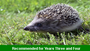
Classic Animal Stories
Investigate the structure and content of classic works of fiction by significant authors with animals as the main characters
-
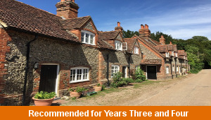
Cities, Towns and Villages
Research and present the history of a range of different buildings and people that are part of the local community using a school exhibition
-

Recycling
Research and present some of the benefits and disadvantages that can be produced when recycling different materials at home and in school
-
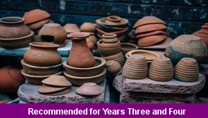
Viking Pots
Develop and refine a range of different art and design techniques when working with clay to make pots that represent Viking culture and traditions